Taygetus
Taygetus is one of the largest mountains in Greece and the eastern side has been included in the Natura 2000 network of habitats. It has also been designated as an "Important Bird Area”.
Taygetus is one of the most famous Greek mountains. It’s also one of the highest, with the Prophet Ilias peak (with the church of the same name on the top) standing at 2,404 m.
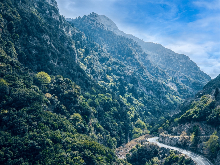
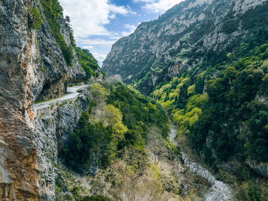
First let’s have a look at the mountain’s ecosystems and its natural wealth in general. The eastern side of Taygetus with the ravines that feed the Eurotas River has been included in the Natura 2000 network of habitats. The mountain has also been designated as an "Important Bird Area” which is little surprise when you consider that 87 species of bird have been recorded here. The mountain has a very rich flora, with more than 1,000 species of plants, 33 of which are endemic. The pretty columbines, Astragalus, Campanulas and Hypericum are particularly noteworthy. And just to round off the picture, more than 100 butterfly species have also been recorded here.
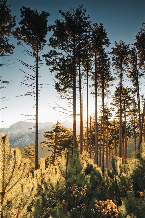
Looking at things in a little more detail, there are 5 vegetation zones in central Taygetus - Mediterranean scrub with holly, wild olive trees, heather and other small trees and shrubs. The mountainous zone is covered in coniferous forests, mainly Greek firs and Black Pine. The Subalpine zone starts at an altitude above 1600-1700 m and includes meadows and rocky slopes. The Alpine zone starts at 2,000 m and ends at the highest peaks with very little vegetation and no trees whatsoever. The vegetation in the ravines and gorges counts as a fifth zone which is not affected by differences in altitude and is generally covered in plane trees, myrtles, ivy and linden.
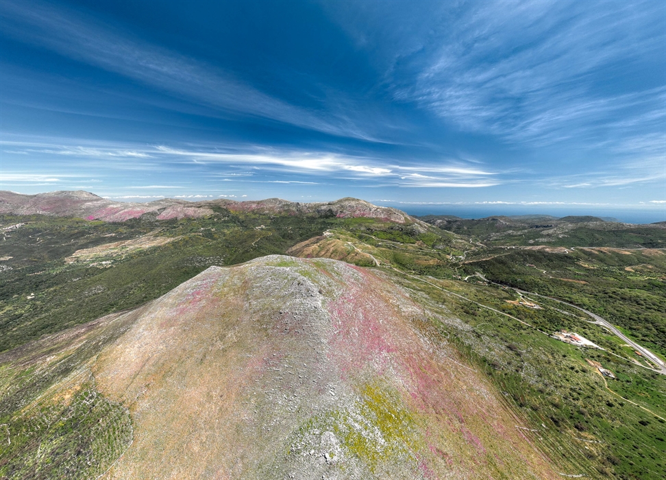
Turning to geography, Laconia is defined by two mountain ranges - Taygetus in the west and Parnon in the east. Between them is the Eurotas Delta where the river flows down into the Laconian Gulf. The mountain range ends in the Mani peninsula at Cape Matapan, right down at the southernmost point of mainland Greece.
Check out information on the Greek Mountaineering Association climbing park.
Location
Find the destination on the interactive map below.
Σχετικό περιεχόμενο χρηστών (UGC)
Ενημερωθείτε για ενδιαφέροντα θέματα γύρω από τον προορισμό μέσα από το περιεχόμενο των χρηστών μας
Discover 7 hidden gems of the Peloponnese
Many of you may have already visited some of the most renowned attractions…
TOP 10 archaeological museums in the Peloponnese
Olympia, Mycenae, Epidaurus, Diros Cave, Ancient Corinth, Messene and…
TOP 10 Castles in the Peloponnese
Castles galore! Mystras, Monemvasia, Palamidi, Methoni, Koroni,…
Newsletters
- About us
- FAQ's
- Map
- Tourism information centers
- Disclaimer
- Sitemap
- Our brand
- Media roum
- Adding your bussiness
- Corporate
- MICE

Peloponnese. Greece beyond the obvious


Design and creation from Cosmote
Marinas and Moorings
Diving centers
Get inspired
- Media gallery
- Blog
- The Peloponnese in the media
- Your feedback
- Users' general content
- Users' local products
- Users' events content
- Ask a local
More
- Accommodation
- Travel agencies
- Restaurants
- Services
- Destinations Map
- Weather
- Public transport
- Events
- Frequently asked questions
- Useful phones
- B2B
- Destination Data
- Contact


